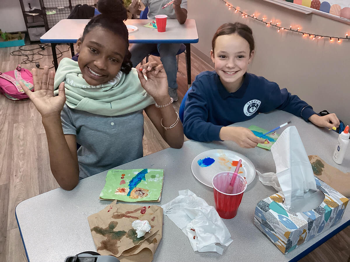
In Alivia Stewart’s 4th-grade science class, learning about topographic and relief maps involves more than discussing contour lines and landforms you can read about in a textbook. It consists of using your newfound knowledge to create your own maps and 3D models.
“Topography is the study of elevation on land, and my students were learning about different landforms, how they’re formed, and how you can see them on a topographic map using contour lines,” Stewart said. “I wanted the experience to be more enriching and memorable than just text and discussion. I wanted to deepen their understanding of map reading and for them to be able to really visualize the elevations.”
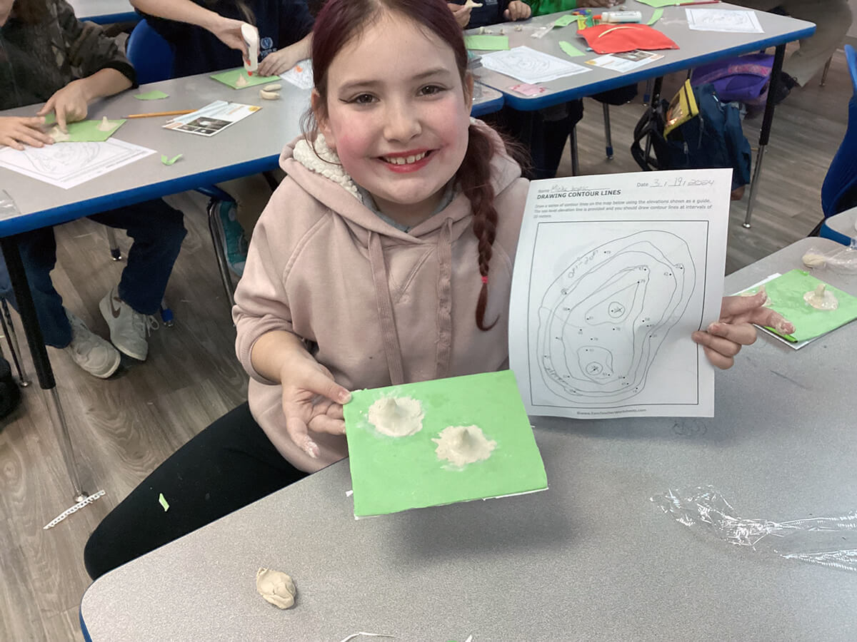
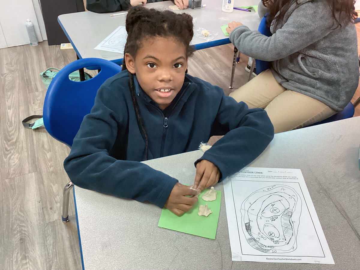
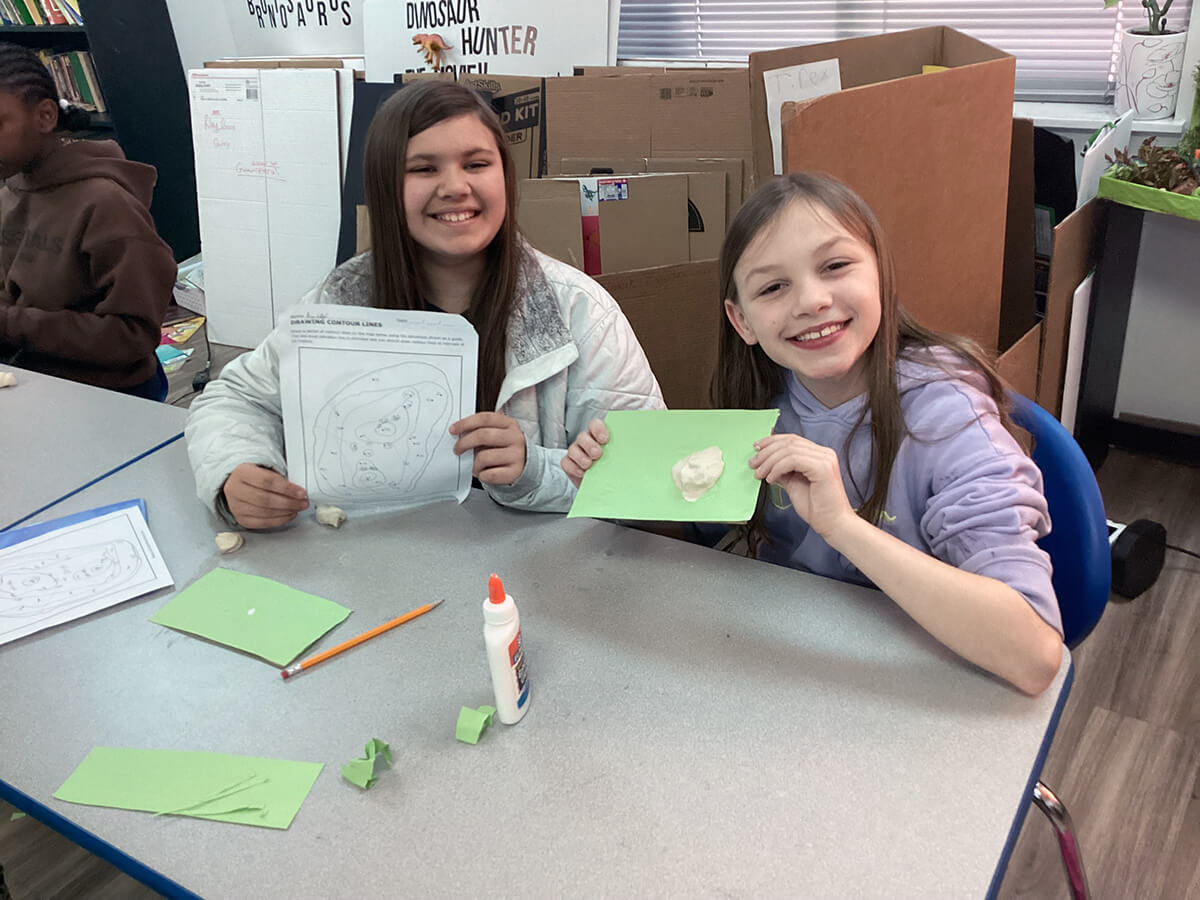
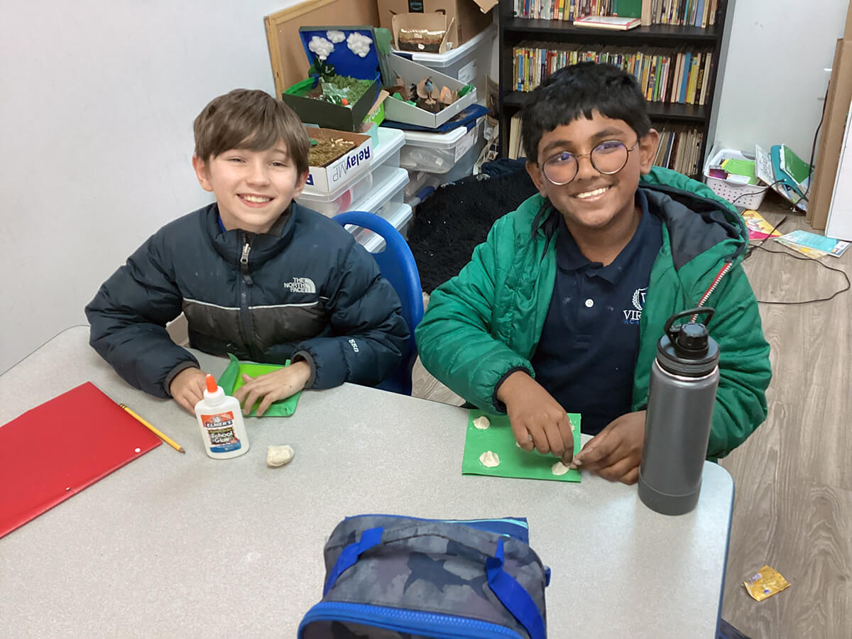
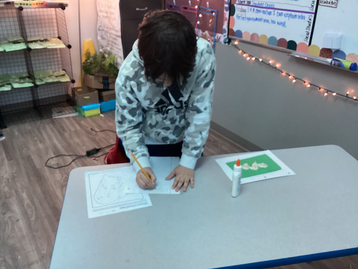
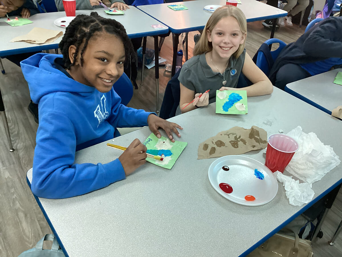
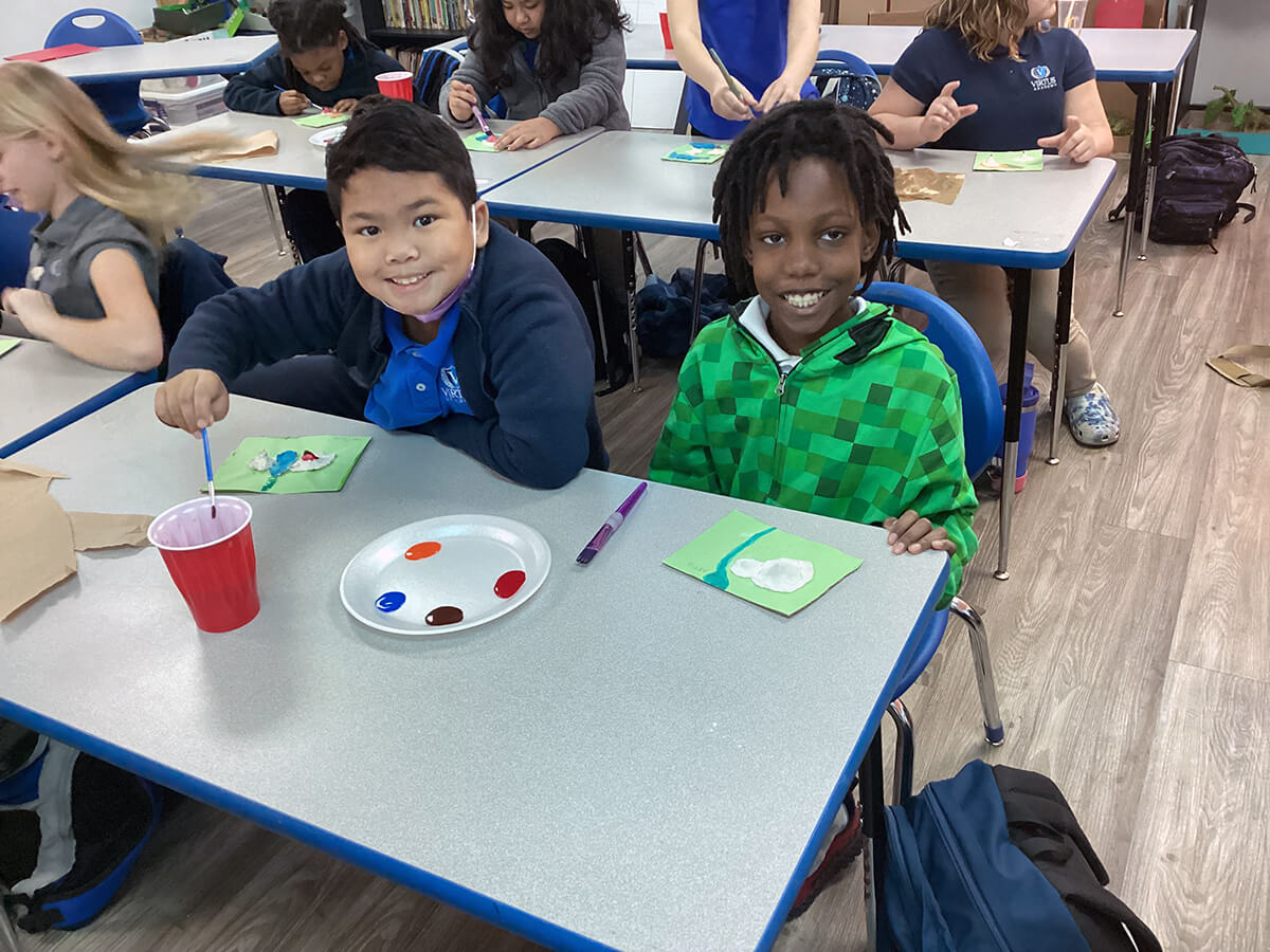
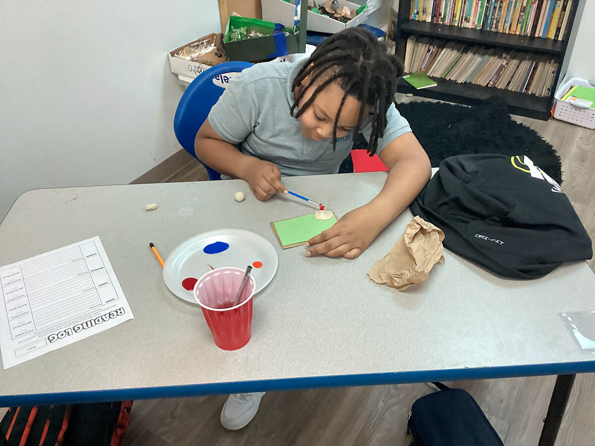
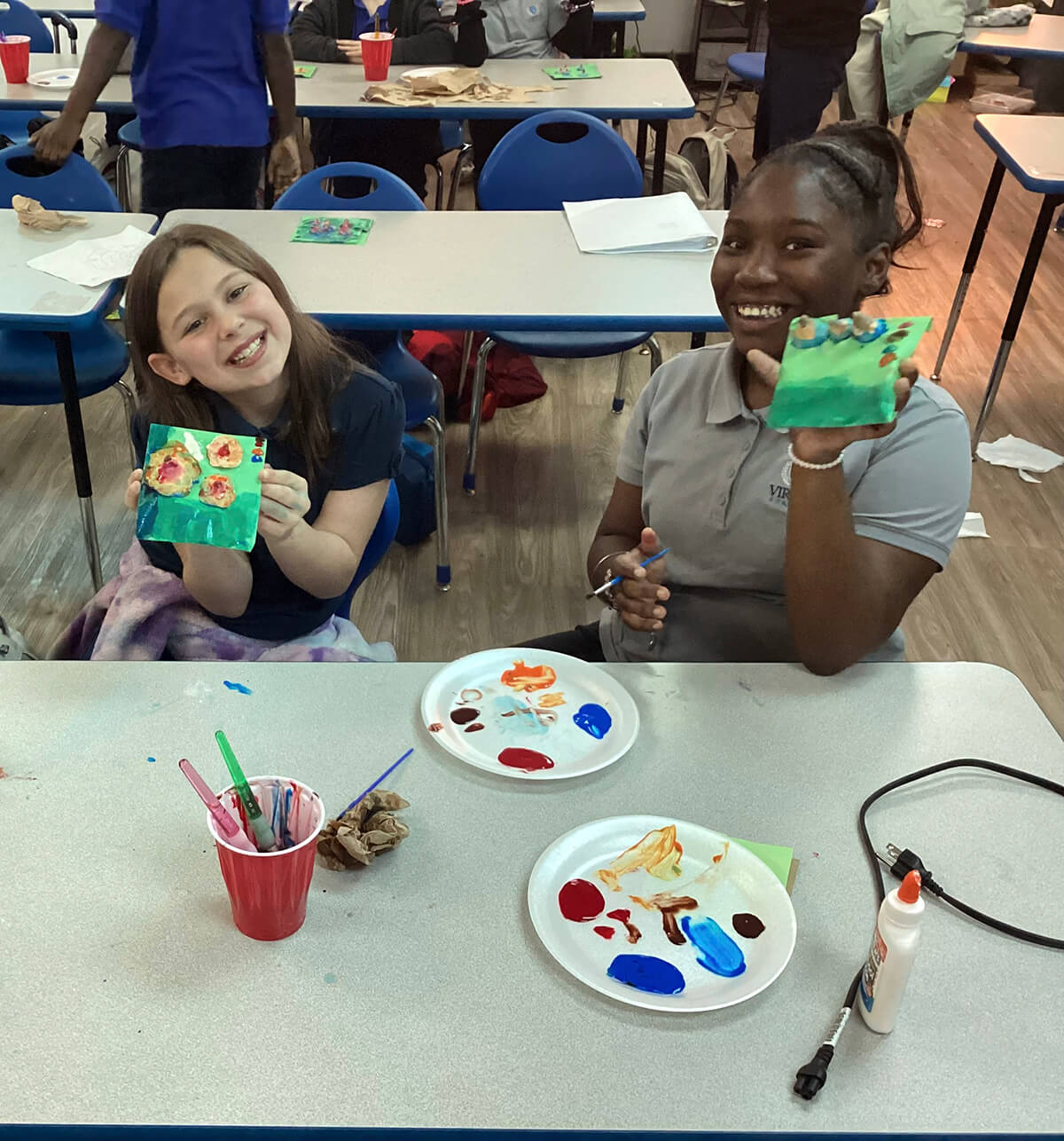
To achieve her goal, Stewart introduced a hands-on activity to teach students how to draw contour lines on a flat topographic map and then how to make them in 3D form. The finishing touch was having them add paint to represent the different elevation levels as they would be reflected on an actual relief map.
“We all have more fun learning when we can connect with the curriculum personally,” Stewart said. “By incorporating the hands-on activity, our learners were able not only to visualize the elevation by looking at the map from the top or side but also touch and feel it.”
Fourth grade Kaylynn Savage added, “I liked making the 3D model because I could see first-hand what contour lines represented elevation and which lines represented flat surfaces.”
Studying Earth’s landscapes and topographic maps is part of South Carolina’s academic standards.